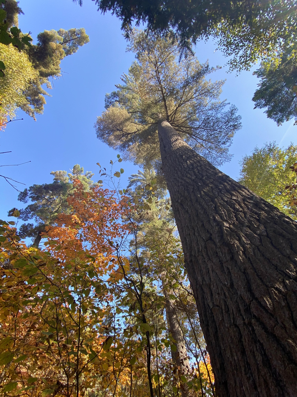
To get to the Temagami Island Trails drive south of Temagami to the Lake Temagami Access Road. Drive west 16 kilometers to the lake. Keep to the right and launch your canoe at the main dock. In winter you can follow the ice road. Paddle 1 kilometer due west between two islands and land at the East Dock. You should get a good map at the old train station. The map and trails are colour coded. We like to do the blue trail with a side trip on the North View Trail and the Old Growth Trail. Take your time and look around and you will find some 44-inch diameter white pine. All the trails are easy and worth exploring. If it is a warm day it is great to enjoy a swim in the clear waters of Lake Temagami.
Link to trails map: https://nastawgantrails.org/files/pdf/86_temagami-island_Temagami%20Island.pdf
We would also direct you to read our DISCLAIMER and our TRAIL USERS CODE.
Region(s): Timiskaming DistrictNearby towns and cities: New Liskeard
Trail feature tags: Lookout
Temagami Island Trails characteristics
Length: various lengthsDifficulty: Easy (Trail classifications)
Trail surface: Natural
Trail use: Hiking
Accessibility Notes: not wheelchair accesible
Fees: none
Flora & Fauna:
Not yet reported.
Amenities: none
Attractions: lookouts
Contact:
hikers@nastawgantrails.org

GPS Coordinates (main trailhead):
Latitude: 46.9608690
Longitude: -80.0190020
Temagami Island Trails Image Gallery
-

- Andy Stevens

Photo credits:
Images courtesy of Andy Stevens.