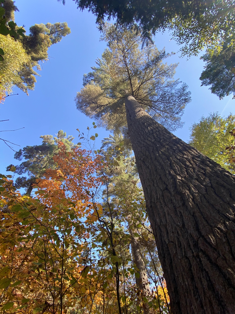
Nature Trails near New Liskeard, Ontario
CITY OF TEMISKAMING SHORES
The City of Temiskaming Shores is a bustling community composed of the three former municipalities of Haileybury, New Liskeard and Dymond. The City is located at the head of beautiful Lake Temiskaming that stretches over 100 kilometers south before becoming the Ottawa River. The City is the service and commercial hub of a large agricultural, forestry and mining region. There are several excellent hotels, restaurants, resorts and lodges to look after all the needs of travelers. The community offers the typical friendly attitude so common to northerners, along with plenty of activities for those with a love for the outdoors, yet provides all the amenities expected from much
larger cities.
There are many things to see and do including visiting local Museums & Art Galleries, learn about the areas rich mining history by walking through Rockwalk Park, stay at one of the lodges and campgrounds to enjoy the fishing and hunting, walk the New Liskeard Boardwalk, enjoy the Haileybury Beach and outdoor waterslide, enjoy boating on beautiful Lake Temiskaming, or cycle the 19.7 km active travel system connecting the city along the beautiful waterfront. In the winter, enjoy the beautiful snowmobile trails,
Fun Facts…Leslie McFarlane, author of the Hardy Boys adventures, lived in Haileybury for several years and wrote nineteen of his books while living here. Only 87 years ago, 90% of Haileybury had burnt to the ground during the Great Fire of 1922 when many families spent the night in Lake Temiskaming on Oct. 4, 1922. There are 547 farms totalling 1,017,293 acres in Temiskaming. The name “Temiskaming” means “deep water”. Lake Temiskaming was charted in 2003 and proved depths of 209 meters.
For other nature trails and hiking trails throughout Ontario use the search features of OntarioNaturetrails.com
We would also direct you to read our DISCLAIMER and our TRAIL USERS CODE.
Beaver Mountain Trail
To get to Beaver Mountain Trail follow Highway 567 south of North Cobalt to the Matabitchuan Powerhouse. Park near the Nastawgan Trails kiosk. Walk southeast uphill a hundred meters and look for the O. T. H. Trail on your left. The portage trail is also the start of...Copper Lake Loop and Beaver Mountain Trail
Copper Lake Loop and Beaver Mountain Trail is a fantastic 8 kilometer loop. Fantastic because of the riverside walking, many lookouts, pine forest and beautiful Copper Lake. To get there drive south of North Cobalt on highway 567. Continue on the O. P. G. Road for 4...DEVIL’S ROCK HIKING TRAIL
DEVIL’S ROCK HIKING TRAIL Trail starts at Bucke Park 5 km south of Temiskaming Shores (New Liskeard). Devil’s Rock is a 300 ft cliff from which there are spectacular views of Lake Temiskaming and the Province of Quebec. The face of the devil may be seen in...Hearst Lake and Falls Trail
Hearst Lake and Falls is an easy day hike. To get started drive three kilometers south of Latchford and turn left, east onto the Roosevelt Road. You will cross the gas pipeline and the railway tracks. On your right (south) there is a grassy clearing suitable for...HERMIT LAKE TRAIL
HERMIT LAKE TRAIL A wide variety of terrain and forests in a small area. This trail boasts a rocky cravasse, maple forest, open shield rock, three lookouts and a view of Hermit Lake. 7.1km in a figure of 8 shape so you can do 1/2 or all of it. Link to trail map: Click...LUNDY TOWNSHIP TRAILS
LUNDY TOWNSHIP TRAILS A great series of trails that are broken up into 1 hour or 6 hour loops. The trails tree types are of the Northern Boreal Forest species. The highlights of these trails are two lookouts west to Maple Mountain and East over the Farm Land. Link to...OTTAWA-TEMISKAMING HIGHLAND TRAIL
OTTAWA-TEMISKAMING HIGHLAND TRAIL This trail is more rugged than trails in Killarney or Algonquin Parks. There are not a lot of sections over rough ground, but you go up and down plenty of hills. The trail stretches 142 km from Latchford in the north to Rabbit Rd, in...PETE’S DAM HIKING TRAIL
PETE’S DAM HIKING TRAIL It is a heavily used easy trail with a parking lot at the trailheads. It is especially interesting to view the river in the Spring when the water is high. To reach the trailhead take Pete’s Dam Road west from Highway 65 to the end....


