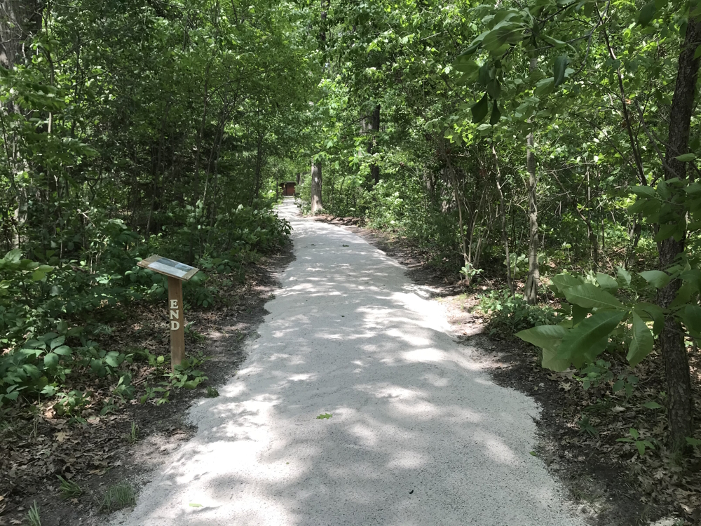
Owned by the Ausable Bayfield Conservation Authority, the Ausable River Cut Conservation Area 32 acre road-side park on the Ausable Cut offers hikers a challenging 2 km loop trail over a high sand-dune – easy short-cuts are available. A wheelchair accessible...
Barton Trail circles the Barton Farms community and passes by Herrema Fields with its playground and covered picnic area, through the residential streets, along woodland sections and by a pond. Complete the loop from Herrema Fields to the Trestle Bridge, along the...
The trails are four-season, multi-use paths for walkers, joggers, cyclists, skiers, and snowshoers. Crushed stone, concrete, wooden walkways and dirt-paths join street bicycle routes to help get you around town. Most surfaced trails are flat terrain and generally...
Discover the beauty of wetlands, meadows, and forests with almost 900 species of flora and fauna along the Darlington Waterfront Trail. Find 207 species of birds nesting in the treetops. Active visitors can jog the fitness loop or pack a picnic and stay the day. Come...
Gray’s Creek Conservation Area is located just minutes east of Cornwall, in the Township of South Glengarry. It offers over 43 hectares of natural landscape for the enjoyment of both residents and visitors. This diverse area is protected, enhanced and restored...
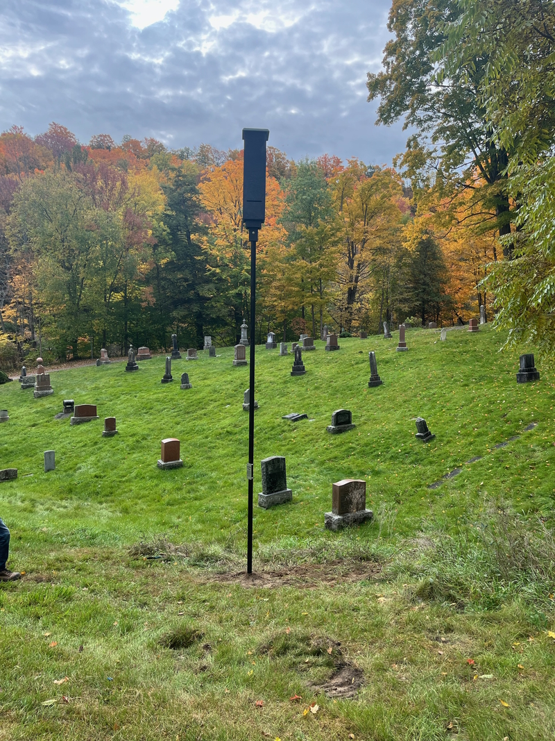
These trail gems are located in Picton Ontario’s Greenwood Cemetery. The 1.5 km and 2.5 km loop trails wind their way through this historic cemetery. Accessible by car by entering at 47 Ferguson St, Picton, ON. Multiple parking locations throughout the cemetery...
Maple Bridge Trail, sponsored by Mason Homes, runs along the path of a stream, through lush woodlands with a number of wooden bridges. It is a single path, with a crushed stone base and has an easy connection to Quaker Trail. Link to trail...
The O’Neil Trail begins with a journey around the treed edge of the recreation area, then heads into a scenic wooded area that leads to an idyllic view of Uxbridge Brook. The trail exits the woods near Ball Road, where it follows the edge of the soccer fields back to...
The Quaker Trail winds around the Quaker Village residential area in northwest Uxbridge. It passes through some of the most historic areas of the town’s past and accesses the Uxbridge Historical Centre. The trail can be entered from a number of access points. The...
Rouge National Urban Park is a unique wilderness setting in the midst of Ontario’s capital. Eventually, it will cover more than 50 square kilometres, following the river valleys and nearby lands of the Rouge River system from the Oak Ridges Moraine to Lake Ontario....
Advertise your business to people visiting your region or town. Reserve your spot now