One of the largest marsh systems in Grey County, this area is 668 hectares of escarpment upland forests, three major marshes, Ducks Unlimited dam, Bruce Trail access, reforested areas, and several small springs. You can hike on 11.9 km of trails, experience the Bognor boardwalks, observation tower and view the interpretive plaques along the boardwalk. This is a multi-use area visited by hikers, naturalists, birders and hunters (during the fall season).
Trails connect with main Bruce Trail route.
Link to trail map: http://www.greysauble.on.ca/portfolio/bognor-marsh-management-area/
We would also direct you to read our DISCLAIMER and our TRAIL USERS CODE.
Region(s): Grey County
Nearby towns and cities: Owen Sound
Trail feature tags: Boardwalk | Interpretive signage | Lookout | nature trail
BOGNOR MARSH MANAGEMENT AREA characteristics
Length: 7.9 km of trailsDifficulty: Moderate (Trail classifications)
Trail surface: Boardwalks and Compacted soil/hard packed
Trail use: Hiking
Accessibility Notes: Not wheelchair accessible
Fees: Parking fees
Flora & Fauna:
Turkey vultures soar above the marsh area and you can be searching the quiet waters of the marsh for amazing aquatic creatures, such as Water Boatmen, Giant Water Bugs and Caddisfly larvae.
Amenities: Washrooms
Attractions: Interpretive signage, boardwalk, lookout
Contact:
Grey Sauble Conservation Authority 519-376-3076

GPS Coordinates (main trailhead):
Latitude: 44.5383300
Longitude: -80.7819000
BOGNOR MARSH MANAGEMENT AREA Image Gallery


-

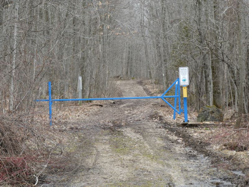
- Bognor Marsh Entrance


Photo credits:
Don Knight, Grey Sauble Conservation.