AUSABLE VALLEY TRAILS
6km of rugged trail follows Ausable River Valley on the east side. Includes steep ravines and gullies. Mix of deciduous forest, mostly beech and oak.
Access: (1) Drive 3km south on Sylvan Road from County Road 7, turn west on Macdonald Drive and drive to the end.
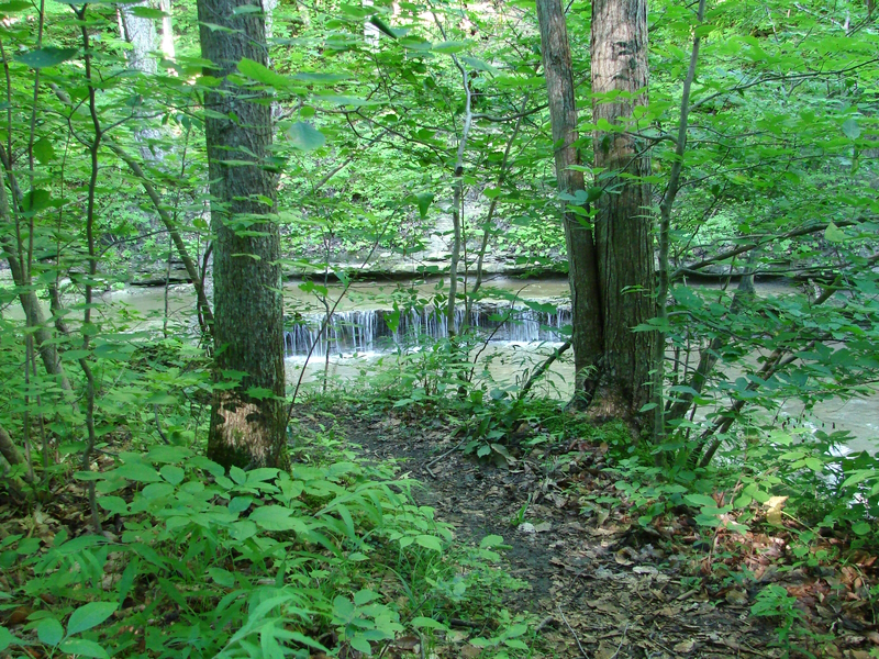
(2) Drive 5km south on Sylvan Road from County Road 7, turn west on Elm Tree Drive and drive to the end – watch for “Mystery Falls” marker and parking lot on right side.
Link to trail map: https://www.abca.ca/assets/files/Mystery_Falls_Map_2019_LR.pdf
We would also direct you to read our DISCLAIMER and our TRAIL USERS CODE.
Region(s): Lambton County
Nearby towns and cities: Forest | Lambton Shores
Trail feature tags: Waterfall
AUSABLE VALLEY TRAILS characteristics
Length: 10 kmDifficulty: Difficult (Trail classifications)
Trail surface: Compacted soil/hard packed
Trail use: Hiking
Accessibility Notes: Not wheelchair accessible.
Fees: Not known
Flora & Fauna:
Not yet reported.
Amenities: None reported
Attractions: waterfall
Contact:
Ross Atkinson 519-786-4956 Lambton Shores Nature Trails.

GPS Coordinates (main trailhead):
Latitude: 43.1429130
Longitude: -81.7868400
AUSABLE VALLEY TRAILS Image Gallery


Photo credits:
Images courtesy of Ross Atkinson, Lambton Shores Nature Trails.