Hastings County Nature Trails
Welcome to Hastings County!
Hastings County is the second largest county in Ontario, stretching almost 160 kilometers from the Bay of Quinte to Algonquin Park. It is comprised of 14 member municipalities.
In the northern portion you will find the ancient rock formations and dense boreal forests of the Canadian Shield, where clear lakes and recreational opportunities abound every season of the year. The southern portion is part of the Great Lakes-St. Lawrence Lowlands, home to two cities and many small towns surrounded by rich farmland.
The County is abundant in historical and natural wonders. The rural lifestyle remains strong here, and you will find our unique artisan and antique shops make for a wonderful day of shopping and exploring our small towns, villages and hamlets. Hastings County is the ultimate combination of rural and urban living.
You will find some of the best hiking and nature trails in Ontario right here in Hastings County.
For more information please visit: http://www.hastingscounty.com/
LAKE ST. PETER PROVINCIAL PARK TRAILS
LAKE ST. PETER PROVINCIAL PARK TRAILS Lookout Trail 2.5 km (1.5 hours) Strenuous This trail crosses rugged terrain, passes close to a kettle lake and leads to a spectacular lookout over the lake. Cabin Trail 4km (2 hours) Strenuous Named after an abandoned log cabin;...Lower Trent Trail
Lower Trent Trail runs through rural and urban areas of Quinte West. The Lower Trent Trail is a 17 km Rail Trail connecting the communities of Glen Miller and Glenn Ross. A maximum grade of 2.5° and limestone granular surface make the majority of this trail accessible...McGeachie Conservation Area
McGeachie Conservation Area is located in Hastings County, on beautiful Steenburg Lake, and has 500 acres of land. This land was donated by Jack and Ethel McGeachie in 1994. McGeachie Conservation Area has many unmarked walking trails throughout the property. The...Mount Pelion
Mount Pelion. Discover “Trenton’s Mountain” located at Dufferin Ave. It is great for walking, hiking, and biking. Climb the observation deck for a panoramic view of Quinte West’s waterways and surrounding countryside. Mount Pelion is just one...Nayler’s Common Wetland & Trails
Nayler’s Common Wetland & TrailsOwned by the municipality. Overseen by a municipal committee, Nayler’s Common is a hidden ecosystem great for bird watching and short hikes. There is a short trail of about 100 ft. to the marsh area. There is a short...Nellie Lunn Park
NELLIE LUNN PARK HAS BEEN CLOSED UNTIL FURTHER NOTICE: Prior to travelling to this trail please check the following link to see if the trail is still closed: https://wollaston.ca/things-to-do/parks-conservation-trails/ Nellie Lunn Park is a 100 acre parcel of...
O’Hara Mill Conservation Area
O’Hara Mill Conservation Area The Heritage Gardens at O Hara Mill Conservation Area turns the collection of old buildings into a living museum. The Heritage Gardens are a sight to behold especially once the gardening season gets under way. There is always...Potter’s Creek Conservation Area
Potter’s Creek Conservation Area. The home base for Quinte Conservation, this area offers an abundance of recreational opportunities. Trails wind through this former farm, past fragrant orchards, open meadows and scenic woodlands. Perfect for birdwatching and...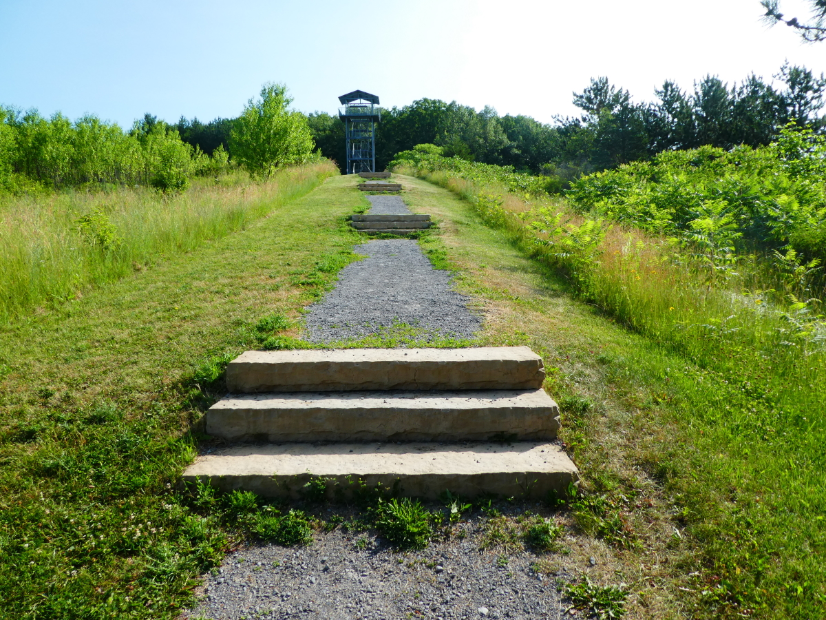
Sager Conservation Area Trail
Sager Conservation Area offers picnicking, trails and a scenic lookout. The area is part of a glacial feature known as Oak Lake Island, a series of large drumlins that formed an island in glacial Lake Iroquois. The drumlin in the conservation area is one of the...