Nature Trails near Sudbury, Ontario
Welcome to Sudbury!
The City of Greater Sudbury is centrally located in Northeastern Ontario at the convergence of three major highways. It is situated on the Canadian Shield in the Great Lakes Basin and is composed of a rich mix of urban, suburban, rural and wilderness environments. Greater Sudbury is 3,627 square kilometres in area, making it the geographically largest municipality in Ontario and second largest in Canada. Greater Sudbury is considered a city of lakes, containing 330 lakes and and the largest lake contained within a city, Lake Wanapitei.
In 2006, Greater Sudbury was home to approximately 158,000 people. In the 2011 census, the city's population increased to 160,274, a growth of 1.5 per cent. It is a multicultural and truly bilingual community. Over 27 per cent of people living in the City reported French as their mother tongue in 2006. Almost 39 per cent of people identify themselves as being bilingual. Italian, Finnish, German, Ukrainian and Polish are the top five non official languages spoken in the City. More than six per cent of people living in the City are First Nations.
Greater Sudbury is a world class mining centre. The city's mining companies employ approximately 6,000 people and support a 300-company mining supply and service sector cluster that employs a further 10,000 people. The city is also a regional centre in financial and business services, tourism, health care and research, education and government for Northeastern Ontario - an area that stretches from the Quebec border west to the eastern shore of Lake Superior and north to the James and Hudson's Bay coastlines – a market of 555,000.
Greater Sudbury is a regional hub for many Ontario residents who live in nearby communities. These visitors come to the city to visit with family and friends, for cultural and educational experiences, such as Science North and Dynamic Earth, for entertainment, for shopping and for conducting business.
For more information please visit: https://www.greatersudbury.ca/
For other nature trails and hiking trails throughout Ontario use the search features of OntarioNaturetrails.com
We would also direct you to read our DISCLAIMER and our TRAIL USERS CODE.
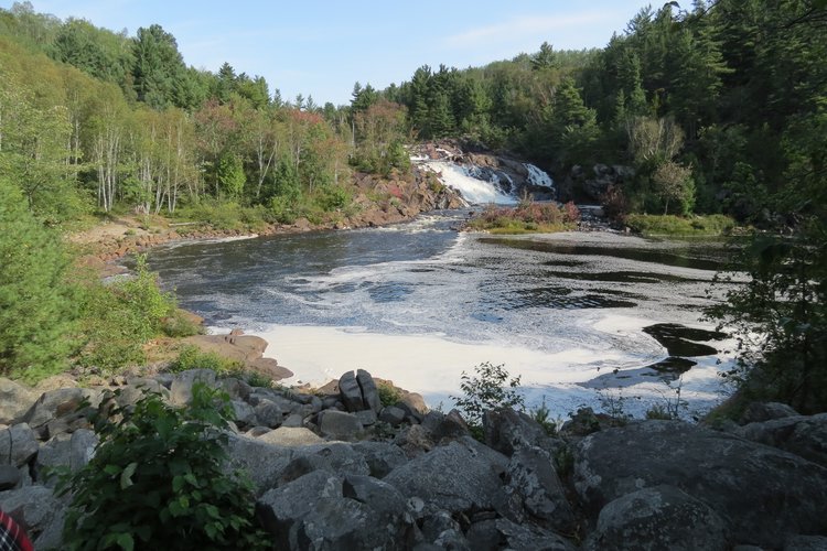
BALD ROCK INTERPRETIVE SCENIC LOOKOUT
BALD ROCK INTERPRETIVE SCENIC LOOKOUT This trail was created in July 1994 by the Dividing Lake Ontario Rangers as part of their 50th anniversary celebration. In July of 1999, a microburst passed through the area, destroying various sections of the landscape. A...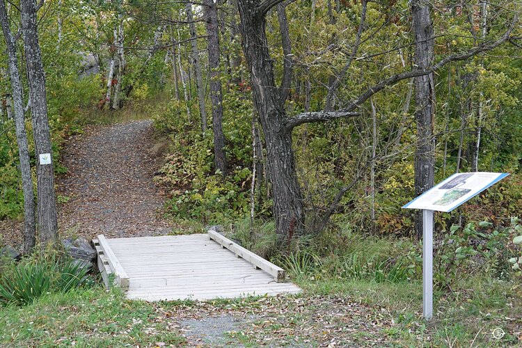
BELL GROVE TRAIL
BELL GROVE TRAIL Trail Highlights: • Scenic view of Ramsey Lake • Multiple accessible beaches • Exposed ridges filled with blueberry bushes Link to trail map: https://www.rainbowroutes.com/bell-grove We would also direct you to read our DISCLAIMER and our TRAIL...
BETHEL LAKE TRAIL
Trail Highlights: • Views of Creighton Fault • Access to Laurentian University Trail Network • Great place for bird-watching Directions: The trail entrance is located at the corner of South Bay Rd and Ramsey Lake Rd. Continue along Ramsey Lake Rd until Bethel Lake Ct....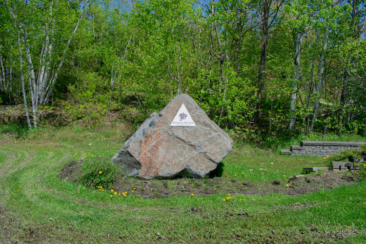
BLUEBERRY HILL TRAIL
BLUEBERRY HILL TRAIL Trail Highlights: • Popular blueberry picking patch • Gazebo and various lookout points • Panoramic view of Minnow and Ramsey Lake Directions: The trail entrance is located in the far left corner of the Carmichael Arena parking lot. A Rainbow...Burwash Prison Trail
The Burwash Prison Trail, located near Killarney, Ontario, is a fascinating hiking trail that offers visitors a glimpse into the historical and natural beauty of the area. Spanning approximately 5 kilometers, this trail winds through the picturesque landscape,...EAST LIGHTHOUSE/TAR VAT BAY TRAIL
The East Lighthouse/Tar Vat Bay trail leads to Pond Point and back. It follows along the coastline of Georgian Bay and passes by Tar Vat Bay, where local commercial fishermen of the late-1800s and early-1900s regularly tarred their nets to prevent them from...FAIRBANK PROVINCIAL PARK TRAIL
FAIRBANK PROVINCIAL PARK TRAIL Wa-Shai-Ga-Mog is the original name of Fairbank Lake and is the Ojibway word for “clear water”. A fitting name for a lake where it is possible to see for over 8 m (24 feet) into the spring fed lake. This short but challenging trail...GEORGE ISLAND WILDERNESS TRAIL
The George Island trail passes through bush, wetland, and rocky areas until it reaches a stony beach. There is also a spot along this trail where commercial fishermen used to tar their nets to delay their deterioration. Although the practice of tarring nets ended...HALFWAY LAKE PROVINCIAL PARK TRAILS
HALFWAY LAKE PROVINCIAL PARK TRAILS Moose Ridge Trail – Rating: Moderate – Length: 2 km, 0.5-1 hour This trail winds along Raven Lake and up and over a small glacial ridge. This is an excellent trail for families and offers exceptional scenic vistas. Echo...